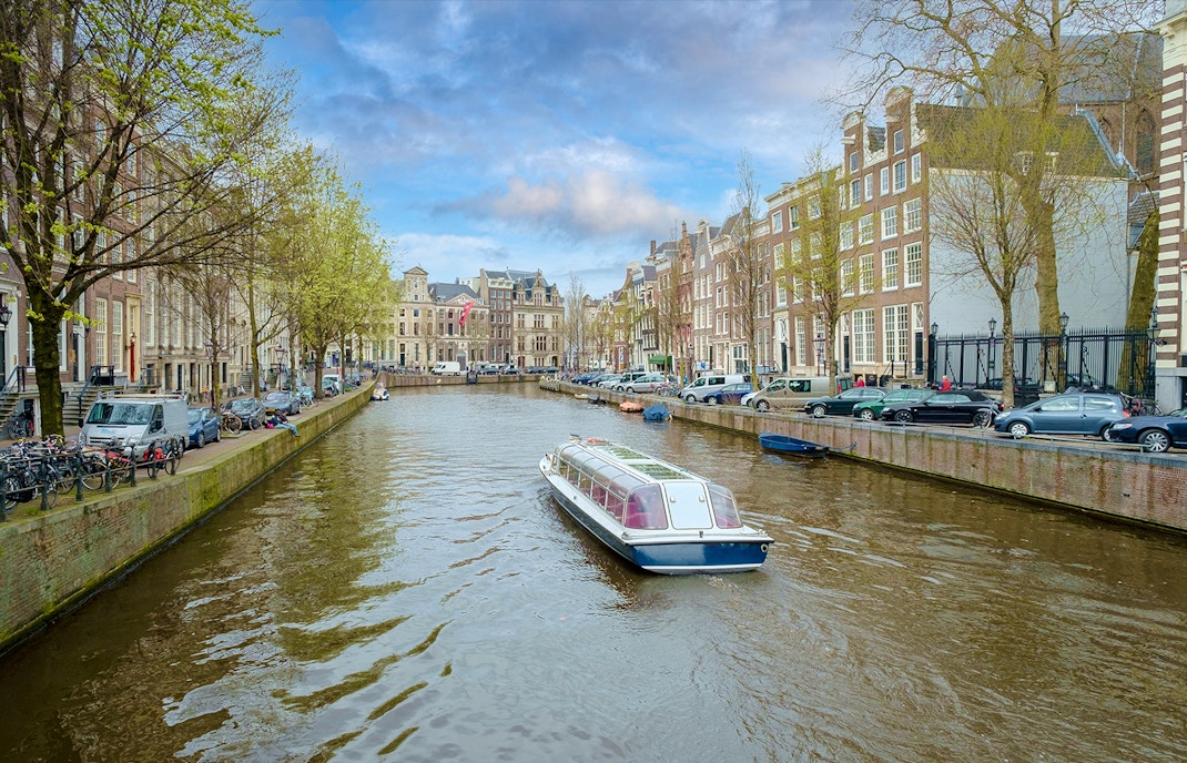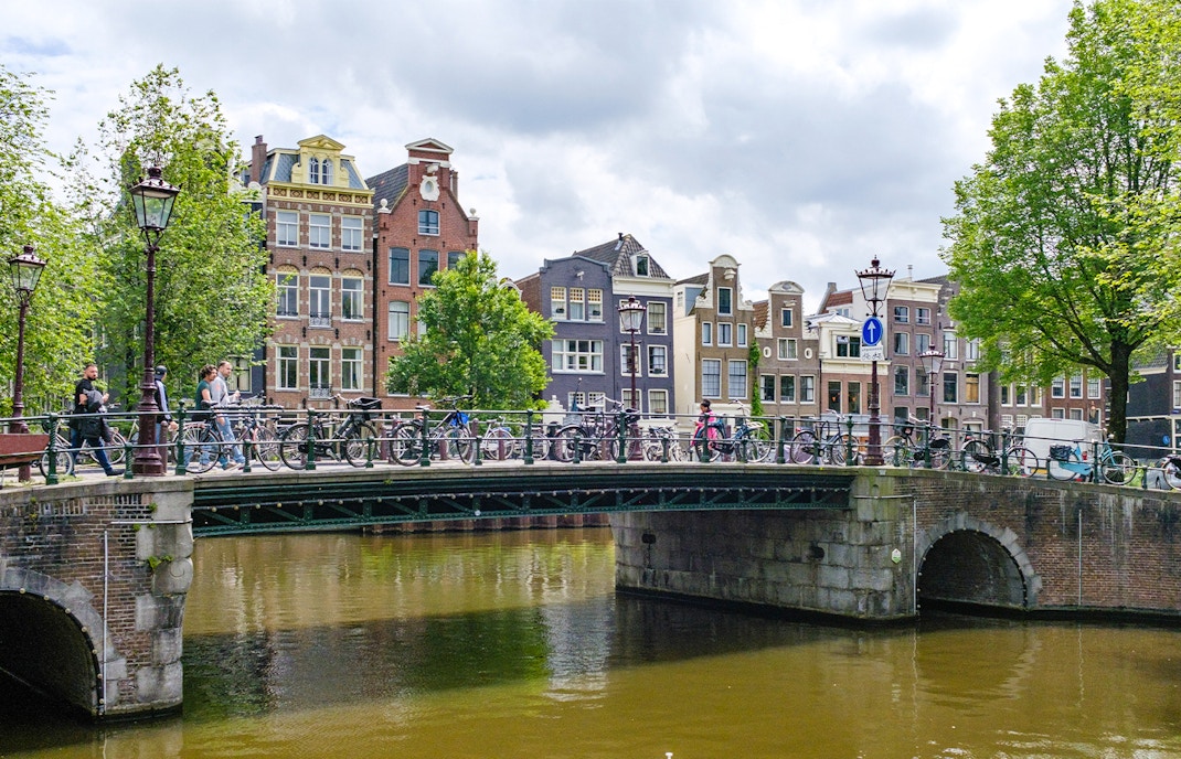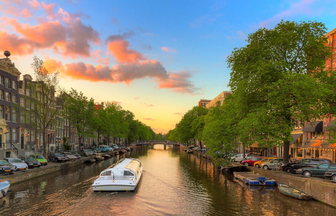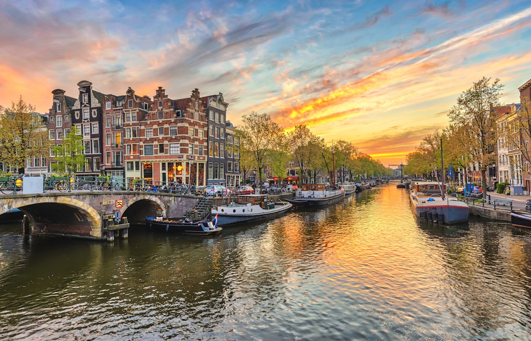
The earliest canals, like the Singel, were originally dug for defence and water management in the marshy delta of the Amstel River. This period of history saw waterways primarily used as defensive moats and for local transport, setting the stage for the city's unique water-based infrastructure. This foundation was vital, transforming Amsterdam from a small fishing village into a growing trade hub.
History of the canals in Amsterdam: Uncover the origins of the city's Golden Age waterways
Forget Venice—the canals in Amsterdam are a masterpiece of 17th-century Dutch ingenuity, transforming a waterlogged marsh into a Golden Age powerhouse. The iconic Grachtengordel (Canal Ring) is so massive that it rivals the size of 400 football fields, yet it was engineered primarily for defence and trade. Uncover the history of canals in Amsterdam and see how this UNESCO site still offers one of Europe's most unique city escapes.
Amsterdam canals history: A chronological journey
- 1270: The Amstel dam is built
The original dam in the Amstel River was constructed, giving the settlement its name and laying the foundation for all future growth and water management. - 1420s: Early canals for trade & defence
Initial expansion saw canals like the Singel dug as a defensive moat and transport route, starting the pattern of canals in Amsterdam. - 1613: Start of the "Grachtengordel" (Canal Belt)
Amidst the Dutch Golden Age boom, ambitious city planning began the excavation of the three main concentric canals (Herengracht, Keizersgracht, and Prinsengracht). - 1621: First VIP 'canal cruise'
Queen Elizabeth Stuart of Bohemia is welcomed with a festive boat parade, establishing a grand tradition of showing off the canals from the water. - 1660s: Completion of the main canal rings
The massive construction project is largely finished, quadrupling the size of the city and cementing Amsterdam's status as a world trade hub. - 1990s: Rise of recreational cruising
With trade moving to larger ports, the canals shift from primary freight routes to a celebrated tourist attraction, boosting the Amsterdam canals tour industry. - 1950s: Canal cruise companies emerge
Commercial operators, like LOVERS Canal Cruises (established 1956), began offering regular, structured Amsterdam canal cruises for the general public. - 2010: UNESCO World Heritage status
The 17th-century Canal Ring Area is inscribed as a UNESCO World Heritage Site, recognising the unique urban planning and architectural masterpiece. - Present: Modern canal life & tourism
The canals are central to the city's identity, with over 100km of waterways, 1,200 bridges, and millions annually exploring this vital part of Amsterdam's canals by boat.
Amsterdam canal history: Turning points
Amsterdam's canals: An architectural masterpiece
Amsterdam's canals today
Built in the 17th century during the city's economic and cultural peak, the concentric semi-circles were a feat of hydraulic engineering, designed to manage water levels and facilitate trade. This brilliant design remains almost entirely intact today, which is why the main canal area was inscribed as a UNESCO World Heritage Site in 2010. The network currently comprises over 100 kilometres of waterways, around 90 islands, and 1,500 bridges. The city of Amsterdam, in conjunction with various water-management boards, oversees the maintenance, ensuring the integrity of the historic infrastructure and managing the busy water traffic, including countless Amsterdam canal cruises.
Frequently asked questions about the history of canals in Amsterdam
The Canal Ring is a prime example of brilliant, large-scale 17th-century urban planning—a concept revolutionary for its time. It showcased the city's ambition and engineering prowess. Its significance is officially recognised by its designation as a UNESCO World Heritage site in 2010.
The construction of the Canal Ring was a massive, ambitious public works project financed by the city government, largely through land sales to wealthy investors and merchants. The land along the newly dug canals was divided into plots and sold, providing both capital for the project and a managed structure for urban expansion.
The design is a series of four concentric half-rings enclosing the old medieval city centre. The streets and canals were laid out in a unique fan shape that provided an organised, accessible, and aesthetically pleasing framework for the rapidly expanding city, a key part of Amsterdam's canal history.
The canals were generally navigated by small, shallow-draft barges and schuiten (flat-bottomed boats) designed to carry goods between the large international port on the IJ and the inner-city warehouses. Larger, deep-sea vessels offloaded their cargo onto these smaller boats outside the Canal Ring.
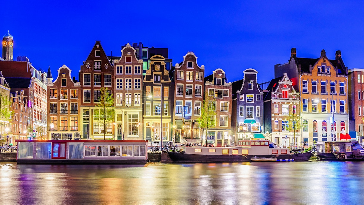
The canals were the lifeblood of the Golden Age. They transformed Amsterdam into a global trade and financial hub. Wealthy merchants built their elegant, narrow houses along the waterways, using the canals to directly move spices, silk, and other goods from their ships to their private storage attics (often visible as the distinctive stepped gables).
Yes. Several canals, particularly in the older centre, were filled in during the late 19th and early 20th centuries to create more space for road traffic and modern infrastructure, driven by sanitation concerns. For example, the Rokin and Damrak were once open waterways directly connected to the Amstel River, but are now partially or fully covered streets.
Absolutely. Look closely at the gable stones found on many canal houses. These relief sculptures often served as the house's "address" before official numbering was widespread, depicting the owner’s trade (e.g., a baker's pretzel), their family name, or a religious symbol. They offer a direct visual link to the history of canals in Amsterdam and its residents.
While no longer a primary hub for international commerce, the canals are still actively used today! Many old service docks have been converted into beautiful houseboats, and the waterways are now key for tourism and recreation, making a canal cruise the best way to experience the legacy of Amsterdam's canal history.
Many older canals were once lined with wooden bridges that could be easily lifted for trade ships. Also, some city canals were filled in over the centuries to create wider streets, but the core UNESCO ring has been preserved. The entire system uses a sophisticated sluice system to manage the water level from the Amstel River and the IJ bay.
These three concentric canals form the core of the UNESCO Canal Ring (Grachtengordel). The Herengracht (Gentlemen's Canal) was reserved for the wealthiest and most influential merchants. The Keizersgracht (Emperor's Canal) was the next-most prestigious, and the Prinsengracht (Prince's Canal) housed upper-middle-class residents and tradespeople. Their names reflect the social hierarchy of the city's Golden Age.
Many prominent Dutch figures, including the painters Rembrandt van Rijn and Johannes Vermeer, lived and worked in houses along the canals. Anne Frank's famous hiding place, the Achterhuis (Secret Annex), is also located on the Prinsengracht canal.
Yes, the water quality is constantly monitored! The city keeps the canals clean using a variety of modern techniques, including regular flushing with fresh water and special ‘canal cleaning boats’. Preservation efforts ensure the historic canal walls and locks remain structurally sound.
A cruise provides a unique, water-level perspective you can't get on land. It offers proximity to the historic canal houses and bridges while providing commentary on the engineering, trade, and social history of canals in Amsterdam in a comfortable setting. Book your trip to see the history up close!