The city boasts 165 canals, totalling over 100 kilometres. This surpasses Venice’s count, making Amsterdam the true "Venice of the North." These waterways form the iconic Grachtengordel, which is officially recognised as a UNESCO World Heritage site.
10 interesting facts about the canals in Amsterdam
Amsterdam is world-famous for its historic waterways, and exploring them via a cruise is the best way to see the city. Discover the incredible history behind the city's waterways with these essential Amsterdam canals facts that reveal how clever engineering and unique culture shaped the iconic landscape you see on every Amsterdam cruise today.
10 fascinating facts about Amsterdam canals
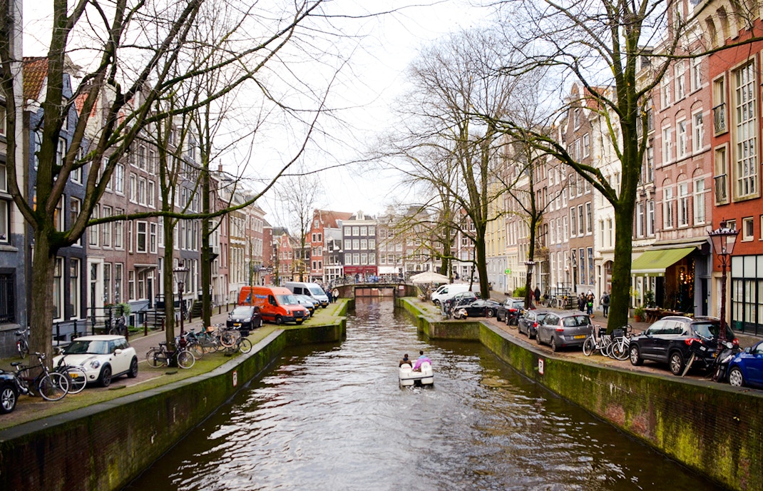
More canals than Venice
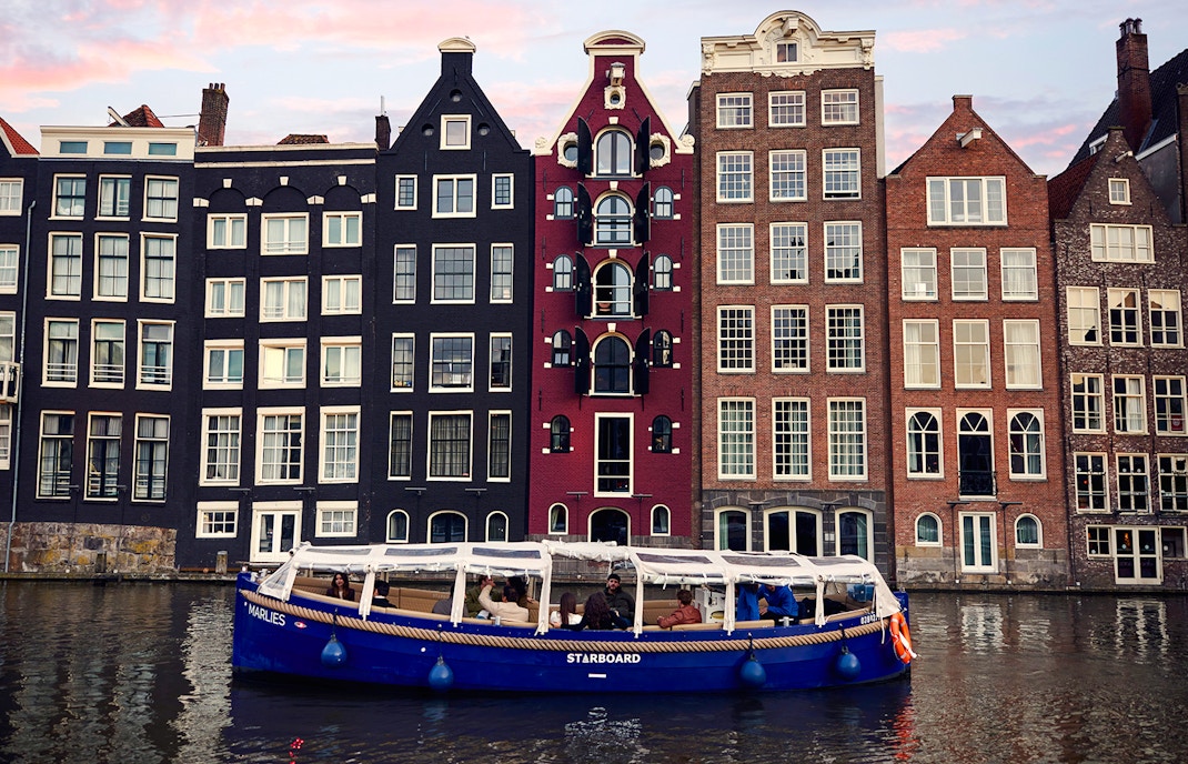
Resting on timber poles
The city is built on millions of wooden poles. Because the ground is so swampy, these timber piles were driven into the sand layer to prevent buildings from sinking. Without this foundation, the majestic canal houses would have collapsed centuries ago!
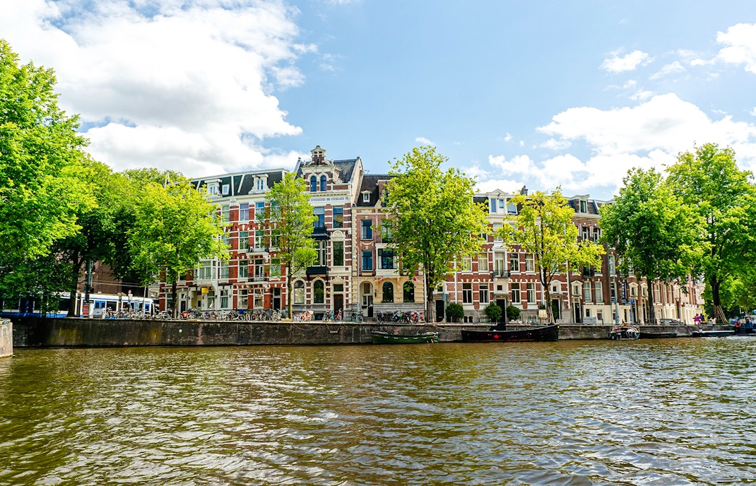
Built in one generation
The majority of the Canal Ring was planned and excavated between 1585 and 1665. Completing such a massive engineering project within a single human lifetime remains a staggering achievement of the Dutch Golden Age.
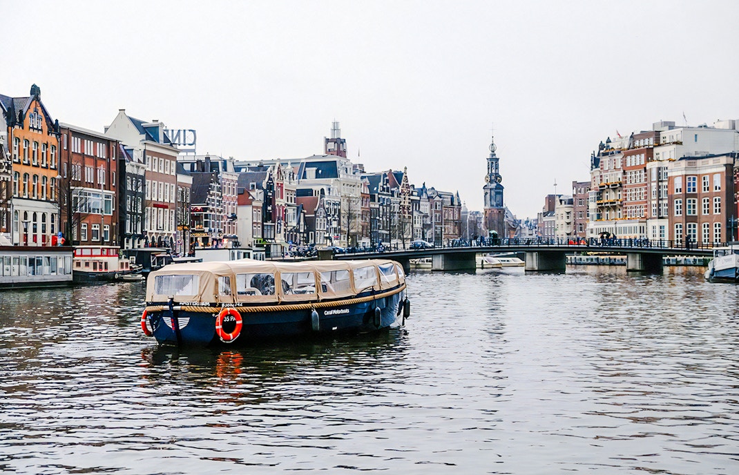
A city of 1,700 bridges
With over 1,700 bridges, Amsterdam nearly triples the bridge count of Venice. The most famous spot is the intersection of Reguliersgracht and Herengracht, where you can see seven stone arches perfectly aligned.
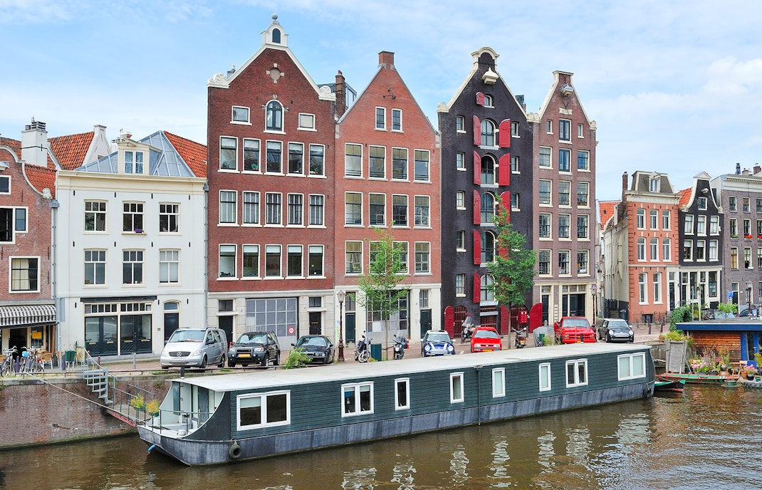
Thousands of houseboats
The city has over 2,500 houseboats. These floating residences are permanently moored and fully connected to the city's power and sewage grids. While some are converted old cargo ships, others are modern floating villas that offer a unique way to experience the water.
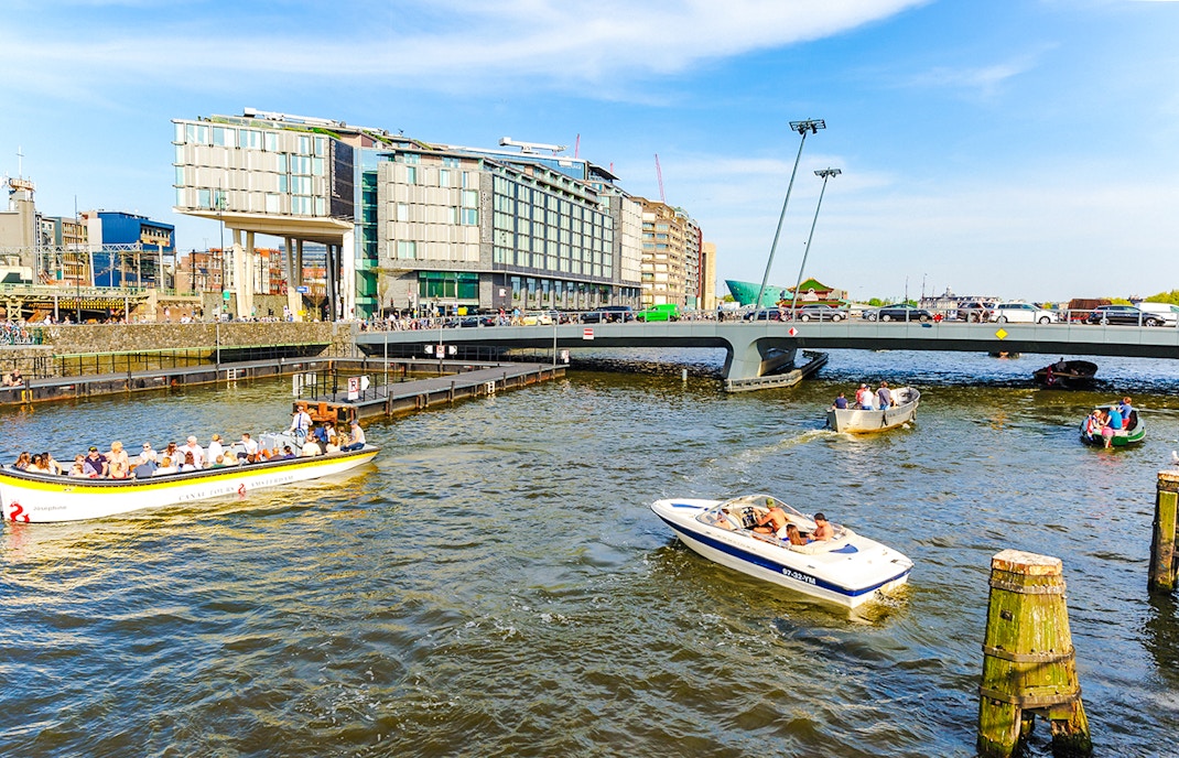
Strategic city expansion
The Canal Ring wasn't just for aesthetics. During the Dutch Golden Age, this massive project expanded the city's footprint fourfold. This strategic urban planning allowed Amsterdam to accommodate a booming population and become one of the wealthiest trading hubs in Europe.
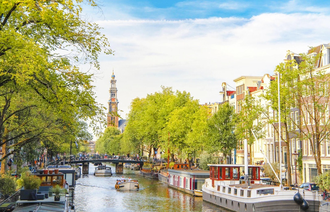
The oldest medieval canal
While many Amsterdam canals facts focus on the 17th century, the Oudezijds Voorburgwal is actually the city's oldest canal. Dug in the 14th century, it predates the main Canal Ring by hundreds of years. It flows through the medieval centre, showcasing architecture that represents the city's earliest beginnings.
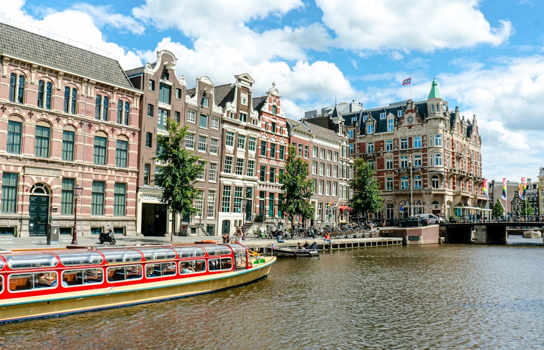
A network of 90 islands
The city is actually a collection of roughly 90 islands. The intricate digging process carved the land into separate pieces, all stitched back together by the city's massive bridge network. This layout creates the charming, village-like atmosphere found in every neighbourhood.
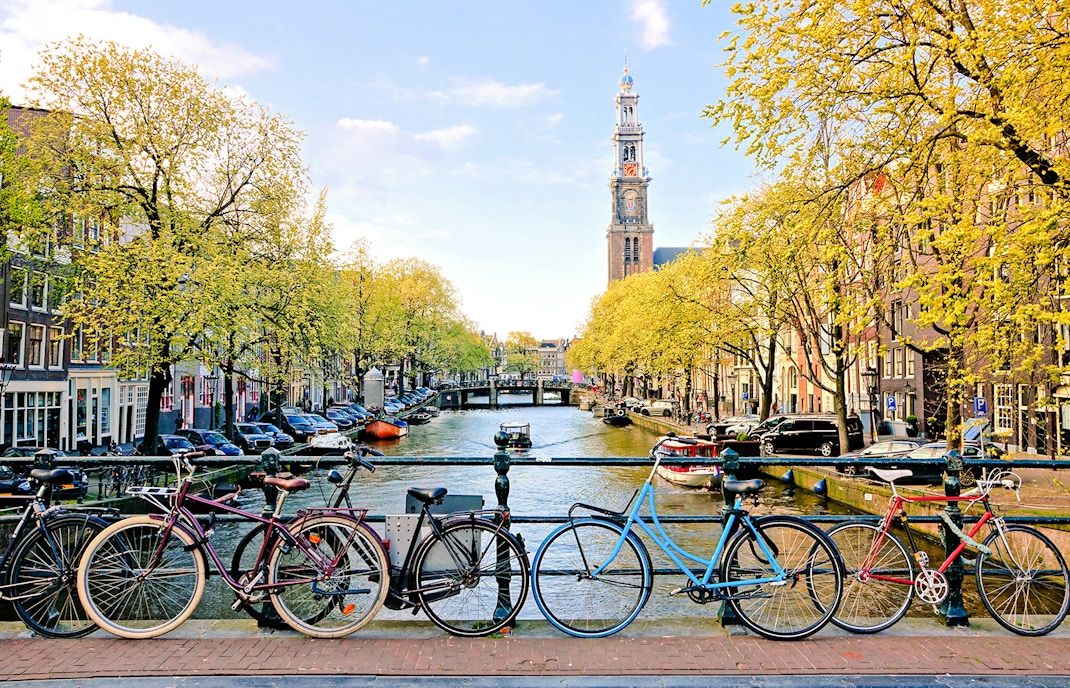
Annual bicycle "fishing"
Every year, municipal workers "fish" between 12,000 and 15,000 bikes out of the water. Specialised boats use hydraulic claws to clear the canal beds of these sunken cycles to keep the waterways safe.
Constant water refreshing
To keep the city healthy, Amsterdam's canals include a complex flushing system. Several times a week, the city's locks are closed, and fresh water is pumped in from the IJmeer lake. This process ensures the water remains clean and prevents the stagnant conditions that plagued the city centuries ago.
Frequently asked questions about Amsterdam canals facts
The layout was designed in the 17th century to expand the city efficiently. It helped with trade, defense, and water management while creating a structured flow of goods and people.
Herengracht, especially the Golden Bend section, is the most elegant. It’s lined with 17th-century mansions that once belonged to Amsterdam’s wealthiest merchants and city officials.
Most canals are around 2.5 to 3 meters deep, though it varies slightly. They’re shallow enough for safe navigation but deep enough to manage water drainage and boating.
They are entirely man-made. Built mostly in the 17th century, the canals were engineered to support trade, urban planning, and water control in the marshy land.
Many canal houses tilt forward to allow goods to be hoisted up and down without hitting the façade. You'll often see hooks at the top of buildings for this reason.
The canals are part of the drainage system. Rainwater is directed into them, and sluices and pumps regulate water levels to prevent flooding in this below-sea-level city.
No. While some were standardized, others vary. Herengracht, Keizersgracht, and Prinsengracht are wider and straighter, while canals in the Jordaan or Red Light District tend to be narrower and more winding.
“Gracht” is Dutch for canal. Names like Herengracht or Keizersgracht reflect their historical function or the social class they were built for, like “Heren” (Lords) and “Keizer” (Emperor).
Not usually. Most tours cover select highlights like Herengracht, Prinsengracht, and the Amstel River. To see more hidden canals, opt for a longer or custom cruise.


